Who We Are
Our Team
Advisory Committee
Resources
Consultations
Online Learning
Events
Events Calendar
Certificate Program
Code of Conduct for SCDS Events
Graduate Residency
Blog
Contact
Search
Home
/
Blog
In
GIS
Blog
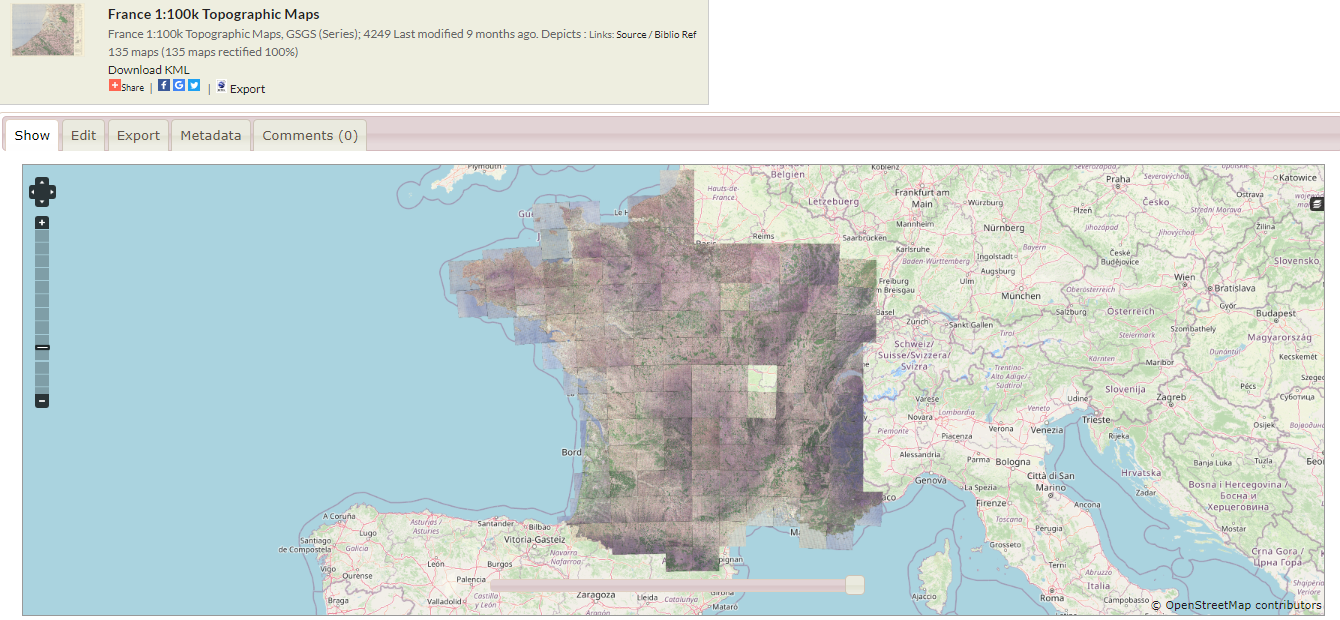
Summer Student Val Flores Zambrano on Georeferencing
By
Sherman Centre for Digital Scholarship
•
Oct 17
Blog
,
Graduate Residency
,
Graduate Residency Projects
Exploring Indigenous Data Sovereignty through Water Governance – Kelsey Leonard, Sherman Centre Fellow
By
Sherman Centre for Digital Scholarship
•
Mar 29
Blog
,
Graduate Residency
,
Graduate Residency Projects
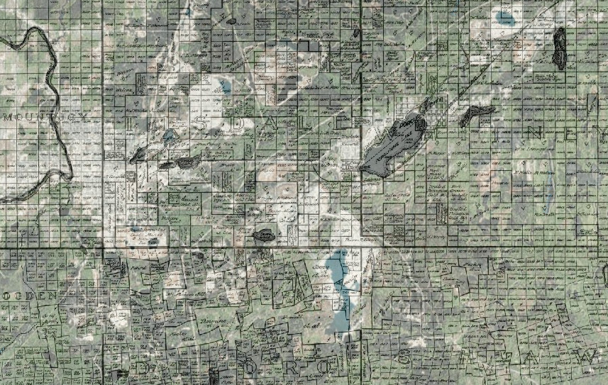
Data Drudgery & Beautiful Betas: Mining Flow Maps Update
By
tramn
•
Jan 23
Blog
,
Graduate Residency
A Graduate Fellow Introduction – Mica Jorgenson, Mining & Environmental Historian
By
tramn
•
Oct 31
Blog
,
Graduate Residency
Reflections on DH @ Guelph
By
Sherman Centre for Digital Scholarship
•
May 18